Images taken by UNIFORM-1
[Please credit "UNIFORM" when you use any image on the website. Please do not process any image without permission]
The thermal infrared camara mounted an uncooled microbolometer (BOL) and the visible camera (VIS) were boarded on UNIFORM-1. The thermal infrared camera provides us images in which high temperature object appears brighter than that of low temperature. The visible camera, which has the same field of view as the thermal infrared cameras' field of view, helps identification of geographical location of wildfires.
Images are taken at 12:04 PM (JST) above the Arctic. Coburg Island is in the pictures.
Image 1:Image taken by a visible camera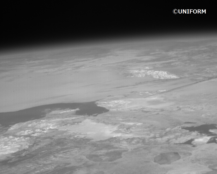
Image 2:Image taken by an infrared camera
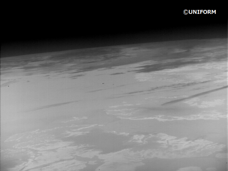
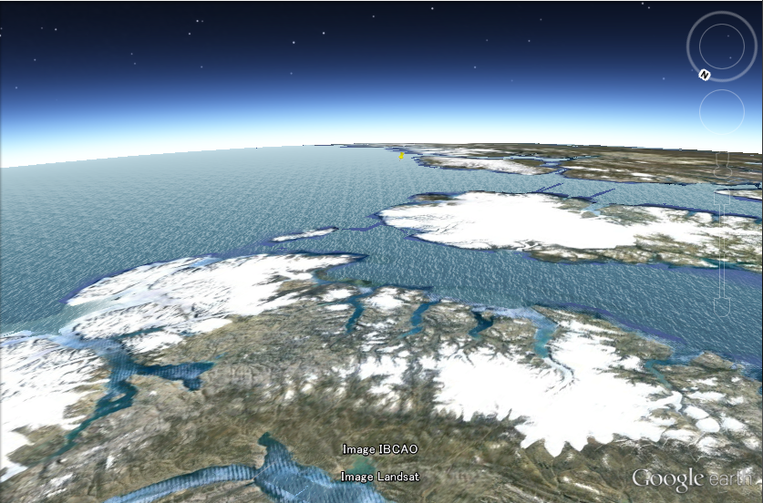
Image 3:Google Earth image on the same area as Image 1 and 2
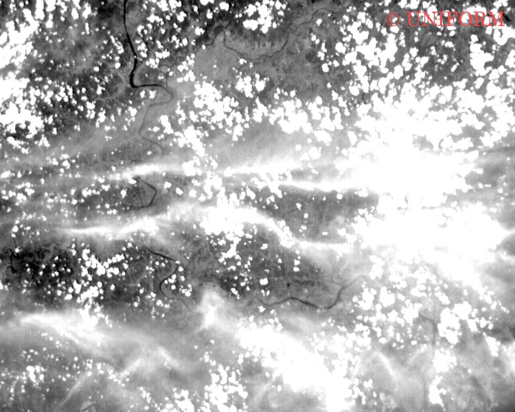
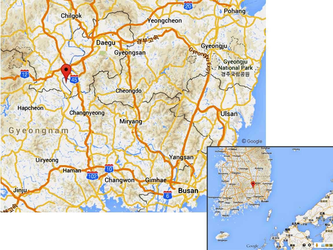
The visible camera successfully took images of Korea when the satellite passed over the Sea of Japan.
Image 1:(Bottom) The same place in Google Maps
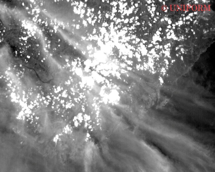
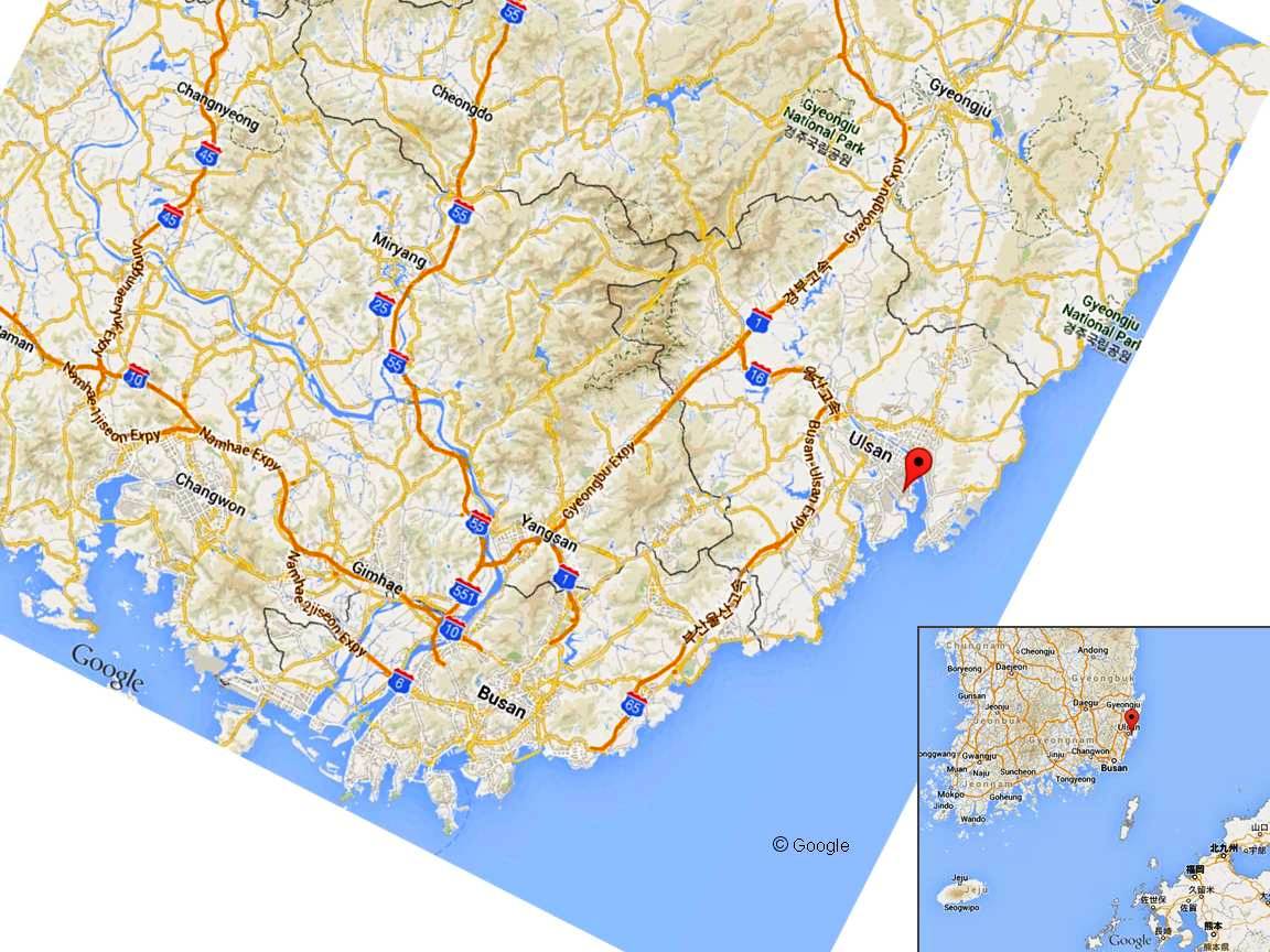
Image 2:
(Bottom) The same place in Google Maps
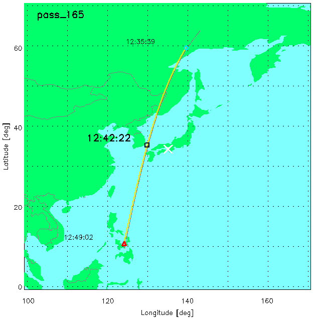
UNIFORM-1 pass when the images were taken. The black circle shows the exact place when the images were taken.
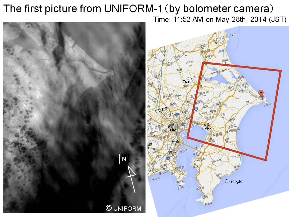
The first image was taken at (11:52AM JST) when UNIFORM1 was passing above the ocean near Chiba, Japan.Lake Kasumigaura, Tone River and Cape Inubo are clearly shown in the image.
Comparison between the image and Google Map